Grounded in land, powered from above
FieldLens brings a level of clarity to land management that a walk-around simply can't provide, combining multispectral drone imagery with genuine forestry and land management expertise.
Why multispectral, not just aerial photos
A standard aerial photo shows what a field looks like. Multispectral imagery shows what's actually happening in it. Plant health, moisture, and stress patterns are invisible to the naked eye until a problem is already serious. That's the difference between reacting to an issue and catching it early enough to act.
How it started
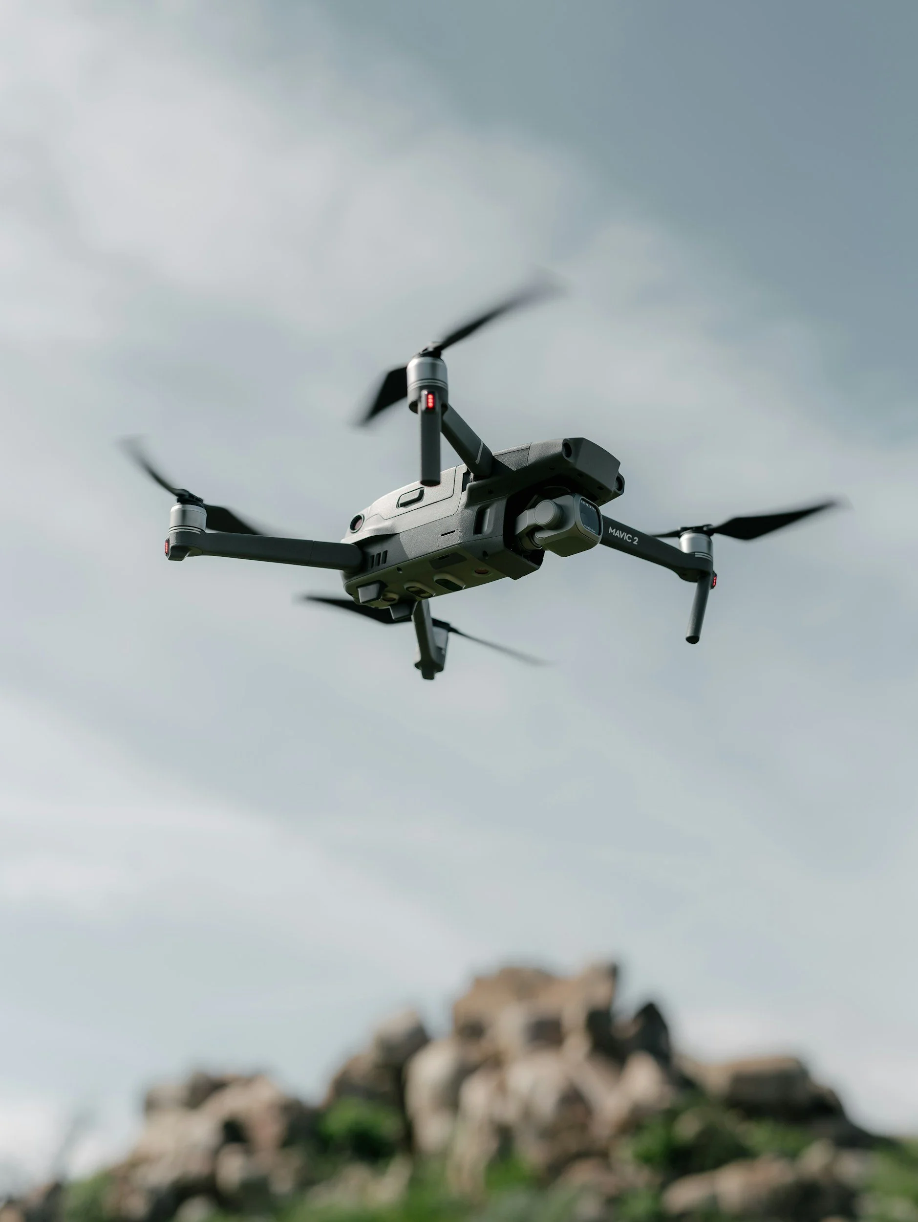
FieldLens began with a proof-of-concept survey across a 115-hectare farm, testing the full workflow. Flight planning, multispectral capture, and GIS analysis using a hired DJI Mavic 3 Multispectral. That trial identified eleven priority drainage zones and a blocked ditch that wasn't visible from any track or gateway, establishing the case for building this into a proper business.
Qualifications
FieldLens operates under an A2 Certificate of Competency for commercial drone operation, and processes every survey through DJI Terra and QGIS turning raw multispectral data into clear, actionable maps rather than just imagery.
Where we work
FieldLens covers the Scottish Borders and Northumberland, working with farms and estates on drainage diagnostics, crop health mapping, and catchment-scale environmental surveys.
Get in touch
For land managers who want to know what's actually happening on their land, FieldLens is glad to talk through what a survey could reveal.