
Grounded in land, powered from above
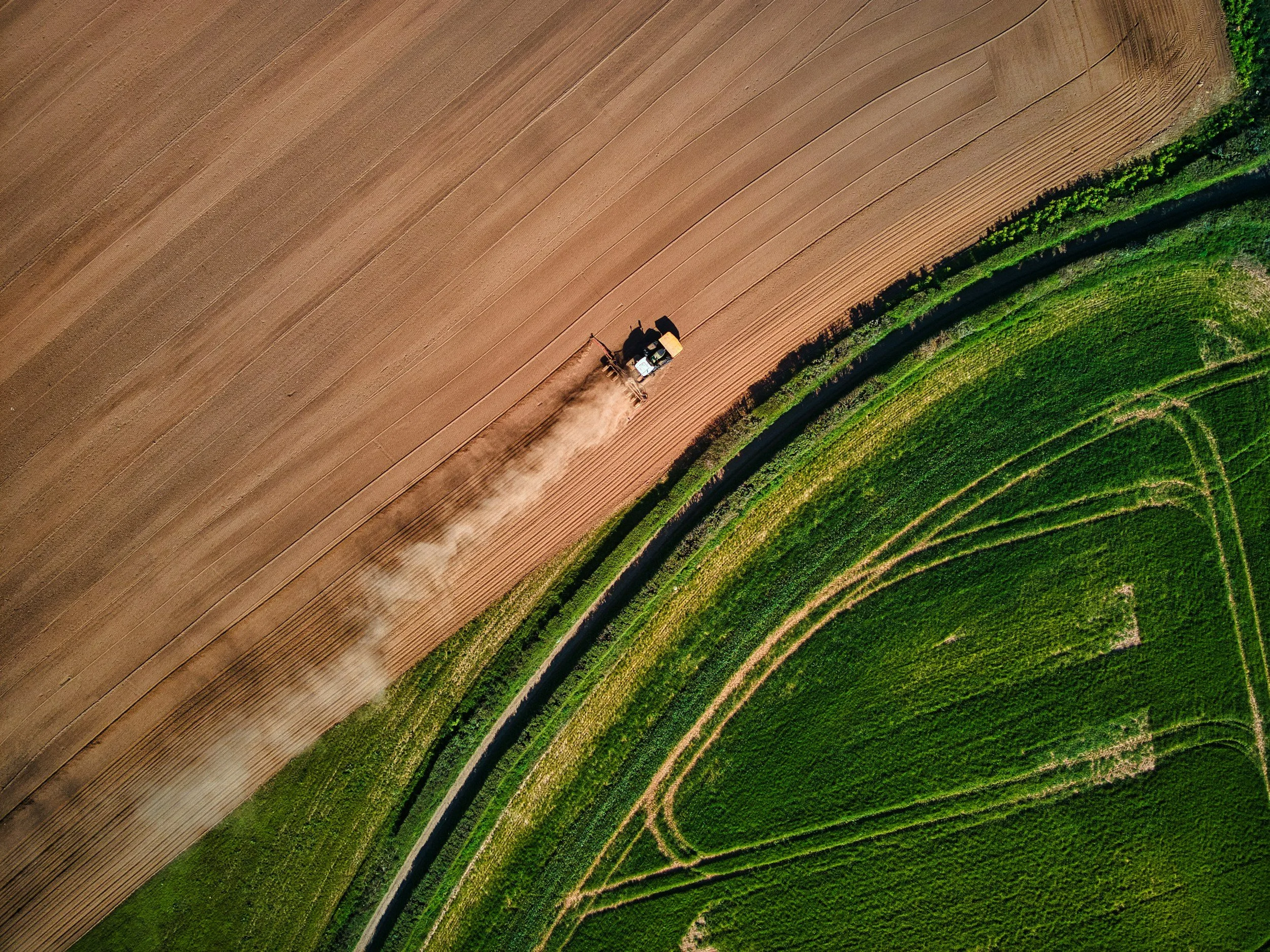
FieldLens brings a level of clarity to land management that ground-level assessment can't provide, combining high-resolution multispectral drone imagery with genuine land management expertise. From drainage issues to crop stress to catchment-scale change, FieldLens gives farms and estates a clear picture of what's actually happening on their land.
Founded in 2026, FieldLens covers the Scottish Borders and Northumberland.

Surveys and other services
Crop health
Multispectral imagery reveals crop stress, nutrient gaps and irrigation issues, often before they're visible on the ground.
Drainage diagnostics
Hydrology, slope and land-cover mapping for catchment and environmental projects — one flight covers the whole picture.
Environmental projects
Topographic and multispectral mapping identifies blocked ditches, waterlogging and priority drainage zones before winter sets in.
Get in touch
Tell us about your land and what you're looking to find out, and we will get back to you about next steps.